Global Earthquake Monitoring: How the World Prepares for Seismic Events
Every second, the Earth shifts ever so slightly and often too subtly for people to notice. Yet these movements leave behind traces that shape infrastructure, economies, and daily routines. For readers who live, work, or create in digital spaces whether freelancers or business owners, early awareness of earthquakes isn’t only about safety. It’s also about being part of a responsible and resilient community. While Singapore sits outside major fault zones, the city-state continues to play an active role in international efforts to better understand and respond to seismic threats across the region and beyond.
- We’ll look at how countries collaborate to build a global network for real-time earthquake data.
- Singapore’s contribution as a research and data hub in Southeast Asia will be examined.
- Technologies like sensors, satellites, and mobile apps that send alerts within seconds are discussed.
The Value of Global Earthquake Tracking
According to the United States Geological Survey, more than 20,000 earthquakes are recorded each year. Most are minor, but some cause widespread destruction to buildings and infrastructure. In a time of fast-moving trade and communication, the effects of one powerful quake can ripple through supply chains, commodity prices, and investment decisions. Even Singapore, often shielded from direct impact, can still feel economic consequences.
Accurate data on location and depth helps officials organize evacuation routes, assess building safety, and stabilize electricity and water systems. Reliable monitoring tools are the backbone of public safety and economic resilience. This is especially vital for countries with systems that must run without interruption, like data centers and shipping ports, sectors where Singapore excels.
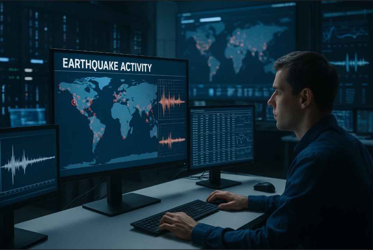
Key Technologies in Modern Seismic Measurement
The classic seismograph has evolved into a network of hardware and software working together. Here are four core components of today’s advanced systems:
- Digital Seismometers – These instruments offer high sensitivity and are housed in weather-resistant enclosures. They collect ground movement data multiple times per second and transmit it immediately to data centers.
- GPS and GNSS Receivers – These detect ground shifts as small as a few millimeters, which can indicate tectonic stress before a quake strikes.
- Synthetic Aperture Radar (SAR) from Satellites – SAR captures broad images of ground deformation after an event. This technology helps estimate damage even in remote areas.
- Community Reports via Mobile Apps – Residents can share what they felt during a quake through dedicated apps. These reports add a human layer of verification to sensor data.
Together, these tools combine physical measurements with crowdsourced data. Within seconds, earthquake location and magnitude estimates reach alert systems in cities and towns.
Singapore’s Role in the Global Seismic Network
Major earthquakes are rare within Singapore’s borders, yet the nation contributes significantly to regional monitoring. Through partnerships between the Earth Observatory of Singapore (EOS) and the Meteorological Service Singapore (MSS), stations have been set up in surrounding zones, including the South China Sea and parts of the Andaman-Nicobar region.
The government ensures data flows smoothly to global centers like the Pacific Tsunami Warning Center. This coordination helps researchers build a clearer understanding of fault lines from Sumatra to Japan. Additionally, Singapore trains engineers from countries with fewer resources. These sessions include best practices for installing low-noise sensors and managing high-volume data streams.
Faster Warnings Through Data Integration
Over the past decade, computing power has increased dramatically. Research centers now apply machine learning models to large volumes of seismic data to identify early signals of significant earthquakes.
Instead of relying solely on the amplitude of a seismic wave, algorithms compare historical data with real-time readings, including crust movement from GNSS. This approach improves the accuracy of preliminary forecasts within seconds after ground shaking begins.
Still, public participation remains essential. Earthquake drills are regularly conducted in schools and high-rise buildings in Singapore. These focus on quick evacuation and ensuring that batteries and communication tools are in working condition.
International Cooperation in Seismic Preparedness
No single country can manage seismic threats alone. That’s why frameworks like the ASEAN Earthquake Information Center and the International Monitoring System have been expanded. These platforms allow nations to share data openly and contribute to better hazard modeling.
Singapore, with its strong digital infrastructure, acts as a relay point for real-time waveform streams heading toward Europe and the Americas. If an earthquake occurs near the Indonesian trench, researchers in California and Italy can access raw data almost instantly for analysis.
Participation goes beyond government agencies. Universities also host open-access data repositories, making it easier for scientists from structural engineers to data analysts to study seismic hazards and build new models.
Building Safer Communities Through Awareness
Technology alone isn’t enough. People need to understand and use the tools available. City governments are working to improve public awareness through communication strategies. Push notifications via messaging apps and SMS make sure alerts reach everyone, even those without stable internet.
There is also ongoing research into emotional readiness. A recent EOS study showed that clear evacuation guides and regular drills reduce panic levels. This led to updates in safety policies for public transportation hubs in Singapore.
Meanwhile, the Building and Construction Authority has begun including international seismic standards in design codes, especially for high-value facilities like data centers and laboratories. These guidelines help buildings withstand both local vibrations and tremors from distant events that might still be felt in Singapore.
A Closer Look at Long-Term Readiness
Seismic safety is a long-term goal. It requires consistent investment in research, education, and infrastructure. In Singapore, authorities are exploring how to combine new data streams with historical records for deeper analysis. Scientists are also testing how AI can help simulate earthquake scenarios to improve emergency planning.
International collaborations remain strong. Joint projects with Japan, Indonesia, and Australia focus on understanding regional tectonics. These efforts include offshore monitoring systems and seabed sensors, which are crucial for detecting quakes near undersea trenches.
As part of education outreach, schools and universities in Singapore include earthquake science in their science and geography programs. This helps the next generation become more aware of how natural forces shape the world and how they can prepare for them.
Global earthquake monitoring is a shared responsibility grounded in science, cooperation, and public awareness. Through reliable sensors, quick data exchanges, and informed communities, damage can be reduced and international coordination strengthened. Singapore, though located in a relatively stable zone, remains committed to contributing time, expertise, and infrastructure showing that safety is a universal effort, not just a local priority.


Leave a Reply